
The Estate
Where it is, and what is around it
Zvimba District, north-west of Harare, on the Harare–Chinhoyi corridor.
Now and when complete
The same view, twice
Each pair starts with a photograph taken standing on the estate on25 August 2026. The second view is an impression of that same spot finished — a render or a drawing, and the label under it says which. An impression is only ever shown beside the photograph it belongs to, so you can see for yourself how much is built and how much is still intention.
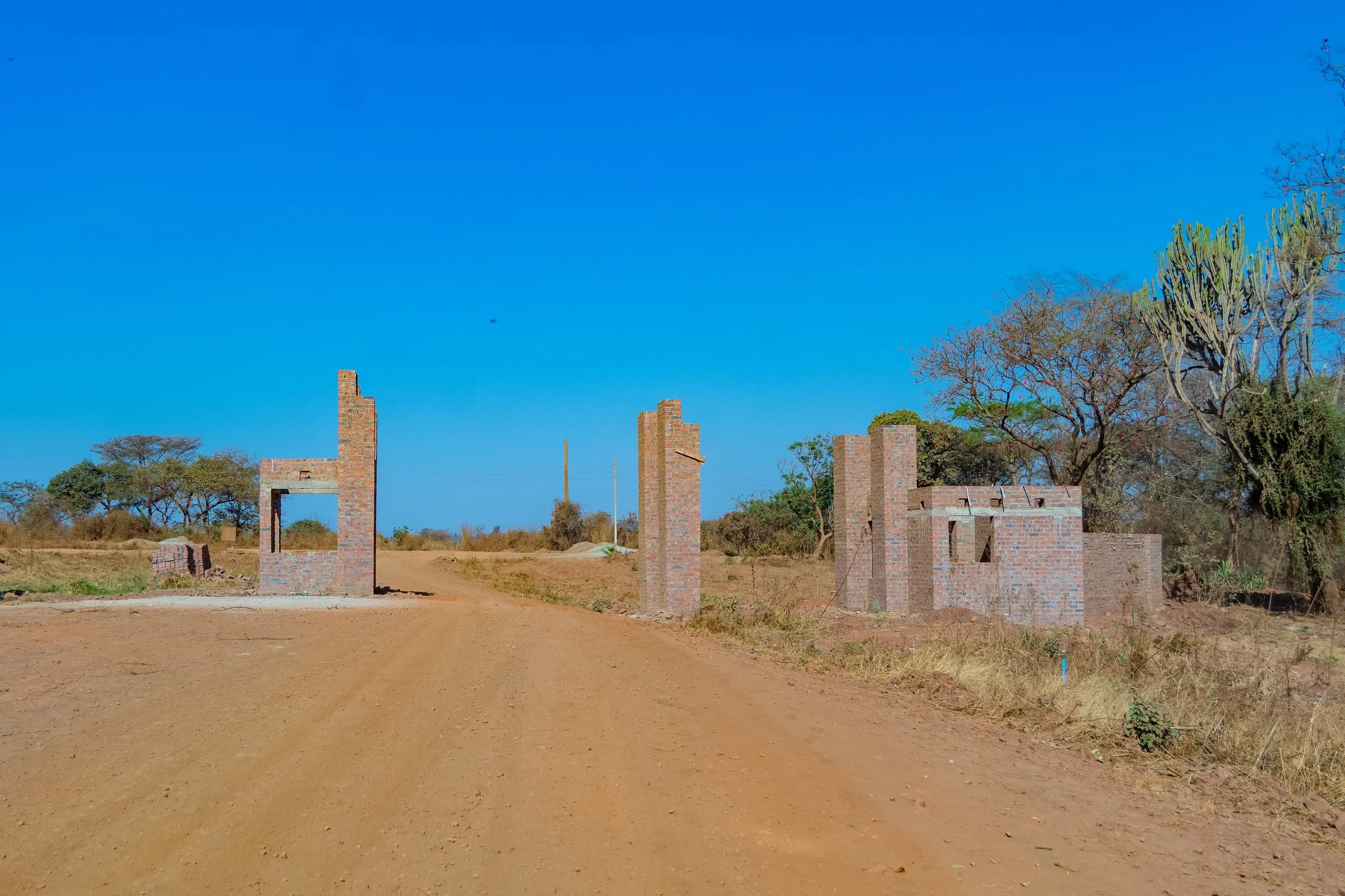
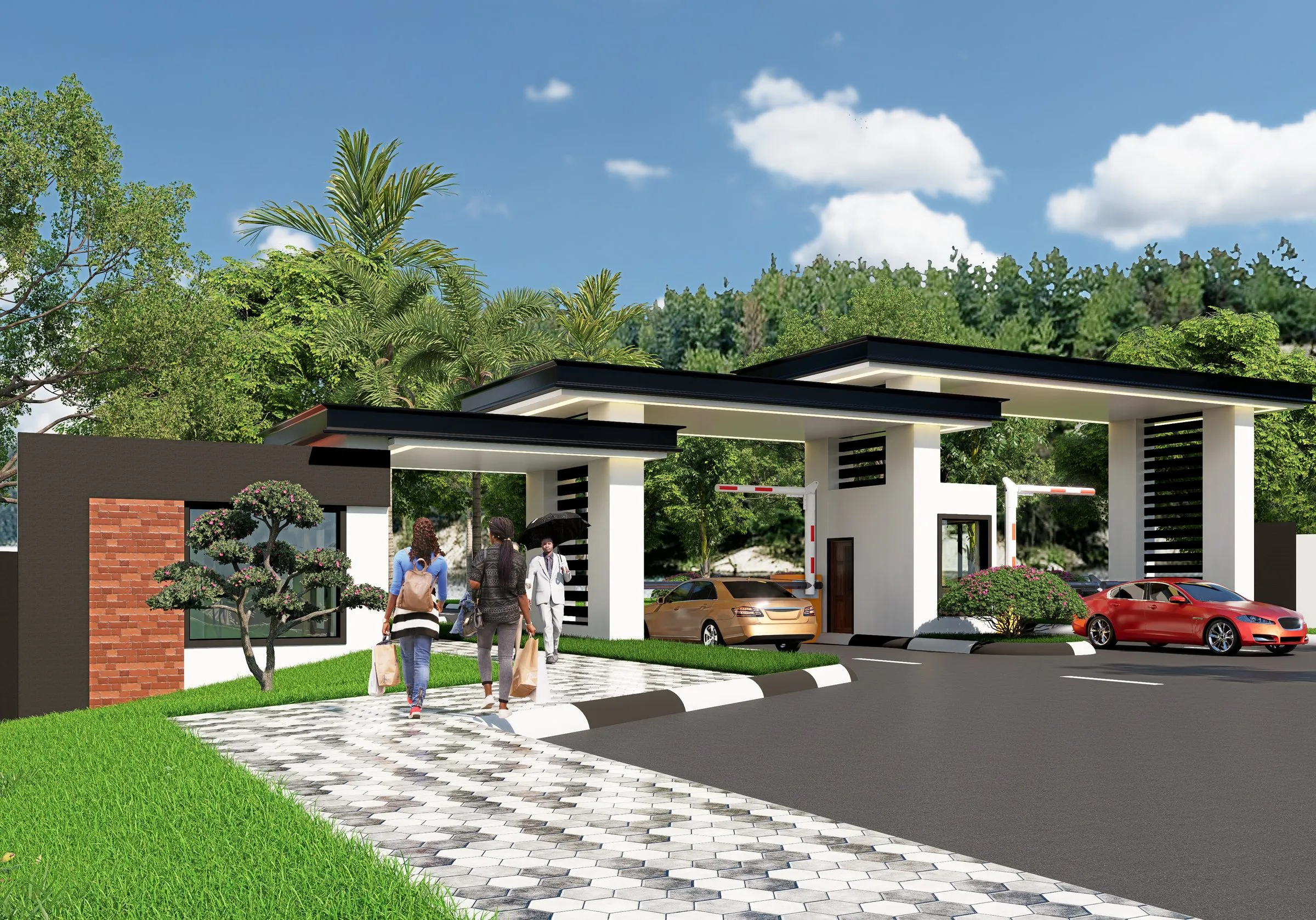 Impression — not a photograph
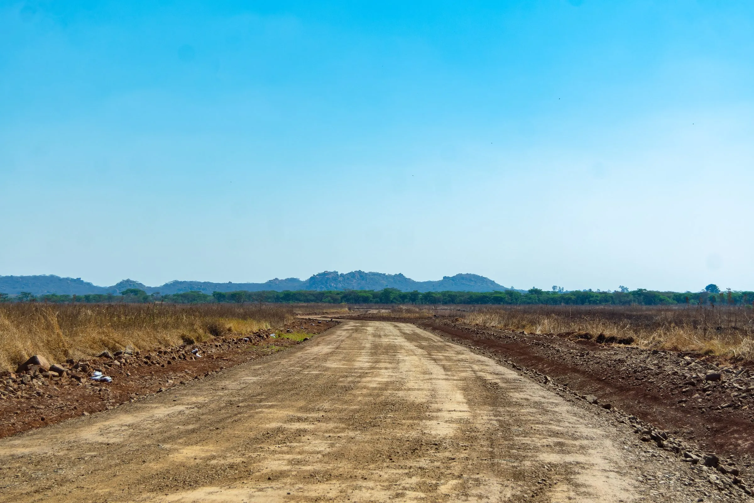
Getting there
What is near it, in kilometres
What a stand is worth in ten years depends more on what gets built around it than on anything done to the stand itself — the road that reaches it, the school a child can walk to, the clinic that is close enough to matter at two in the morning. That is the whole reason these distances are listed one at a time instead of summarised as “well located”.
They are road distances, not straight lines, and the turn-off is signposted. Drive them yourself on the way out and check the numbers against the odometer.
Not confirmedThese distances are placeholders until the sales office confirms them. Do not rely on them yet.
- Harare CBD
- 47 km · 35 min
- A1 highway junction
- 6 km
- Banket town
- 18 km
- Chinhoyi
- 65 km
- Nearest primary school
- 4 km
- Nearest clinic
- 7 km
Servicing
Item by item, with the photograph
One word covering all of this would mean different things to different sellers, and buyers have lost money in that gap. Here is each item, where it stands, and the photograph taken on25 August 2026 that supports it.
| Service | State | Detail | Evidence |
|---|---|---|---|
| Roads | In progress | Graded and formed through Phase 1; kerbs, verges and the later phases to follow | |
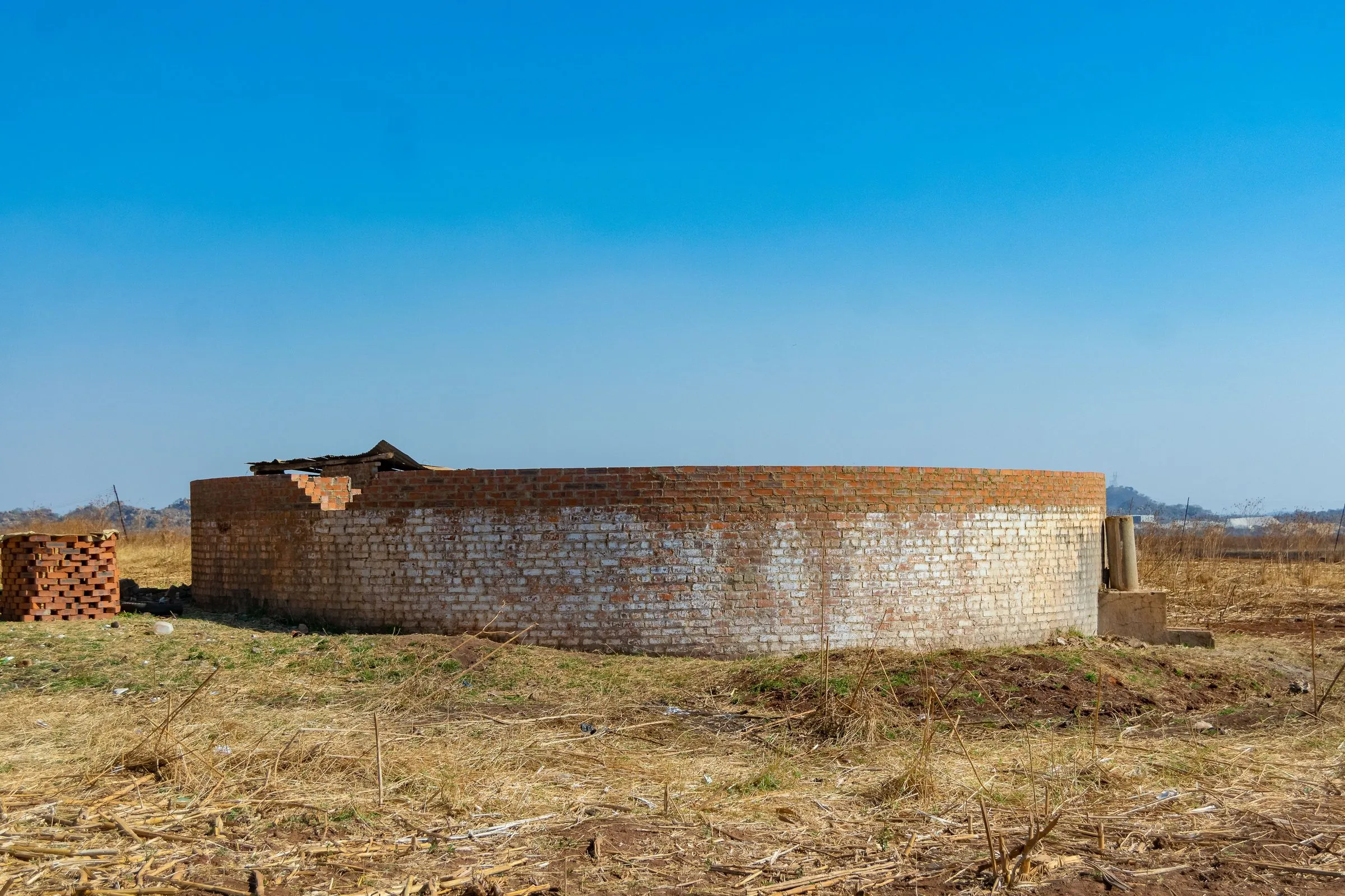
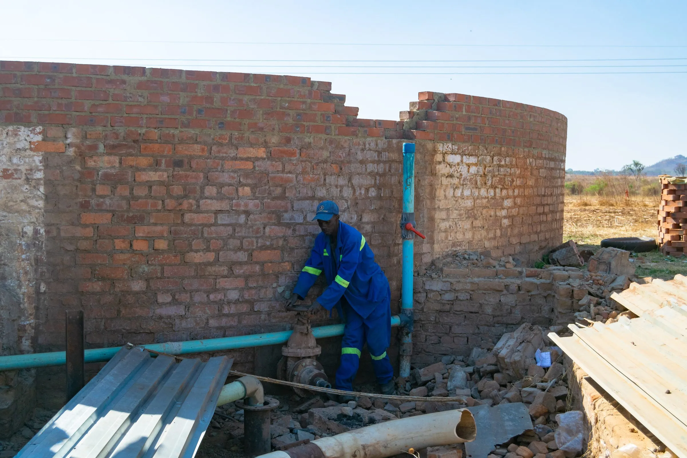
| Water reticulation | In progress | Boreholes drilled, storage reservoir under construction, mains being laid | |
| Electricity | In progress | Line to Phase 1 energised; Phases 2–3 to follow | No photograph — this work has not started |
| Sewer and drainage | In progress | Culverts being laid; trunk main trenched through Phase 1 | 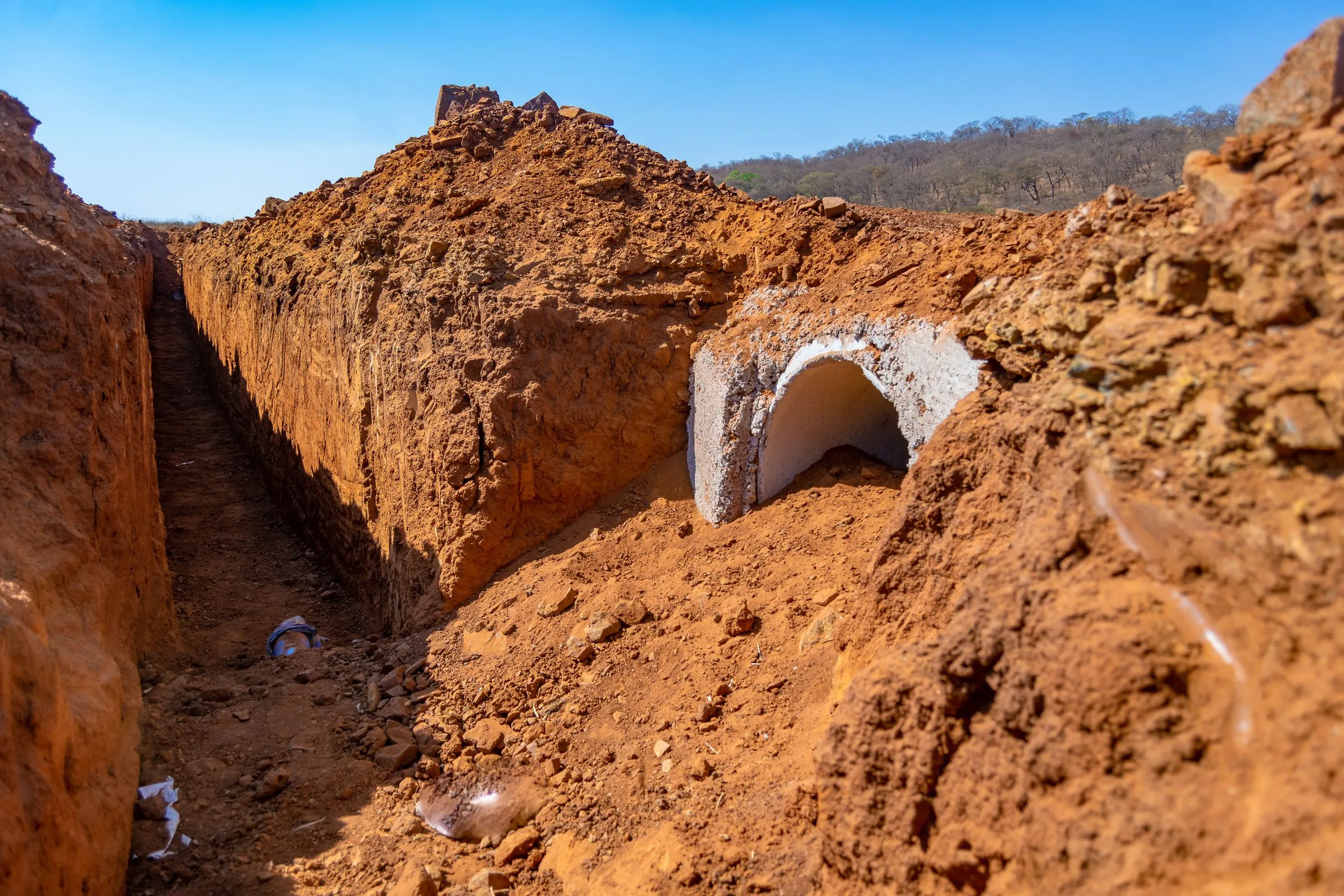 |
| Boundary wall | Planned | 2.4 m perimeter wall, 3.1 km | No photograph — this work has not started |
| Entrance and gatehouse | In progress | Entrance piers and gatehouse walls built; roofing and gate to follow | |
Three states, and each one means exactly one thing.Complete the work is finished on site · In progress the work has started and is not finished ·Planned the work has not begun. Nothing moves up a state until a photograph shows it.
Land set aside
Ground that is not for sale
These are read off the land-use schedule on the approved subdivision diagram, which you can open and check on thestands page. They cover the whole approved subdivision, not only the part this company is selling. None of them is built yet — what exists so far is the land and the allocation, which is all this section claims.
Primary school sites
Two sites, 7.07 haSecondary school site
One site, 8.12 haClinic site
One site, 0.66 haShops and offices
64 sites, 5.26 haOpen space and buffer
13 areas, 6.93 haPolice site
One site, 0.6 ha
Also drawn on the same plan
We would rather you heard these from us than found them yourself on a drawing we asked you to examine.
- Abattoir
- Drawn on the eastern side, beside the homestead and the larger residential plots rather than the 400 m² stands.
- Sewage treatment works
- At the southern end of the subdivision, furthest from the residential blocks. The schedule allows 3.61 ha across two public utility sites.
- 33kV power line
- Runs along the eastern boundary, marked on the drawing with its servitude.
- Dam and stream
- Along the northern and western edges, inside the open space and buffer zones.
Progress
What was built, and when
An undated photograph of a grader proves nothing — you cannot tell whether it was on site last month or six years ago. So every entry below carries the month the work happened, and every photograph carries the day it was taken. All of the photography on this site is from 25 August 2026, because the whole set was shot in one visit.
Not confirmedThe months below are placeholders. The photographs and the day they were taken are real; the month each stage finished has not been confirmed yet, and this note goes when it is.
- March 2026
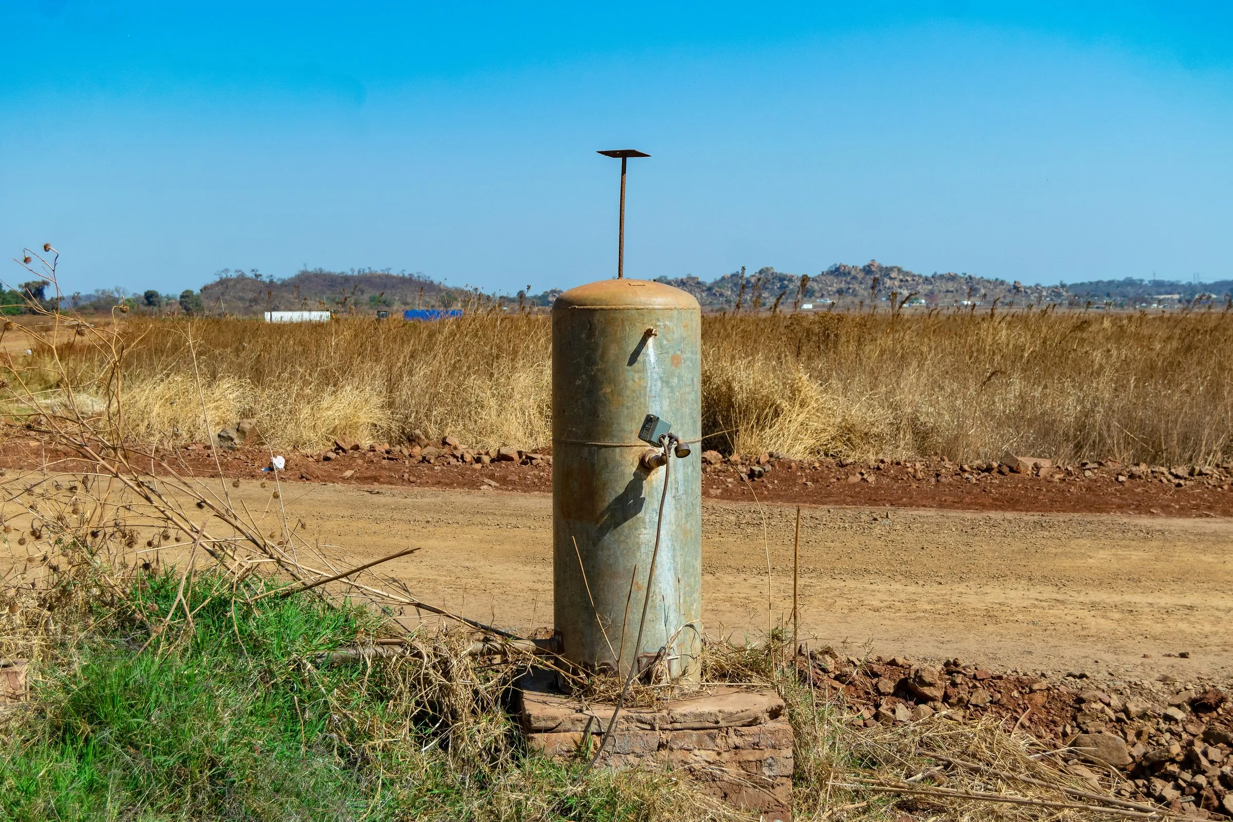
Beacons planted on the northern block
Surveyors set and numbered the boundary beacons. The number on the beacon is the number that goes on the agreement — bring your quote and we will walk you to it.
Photographed 25 Aug 2026 - June 2026
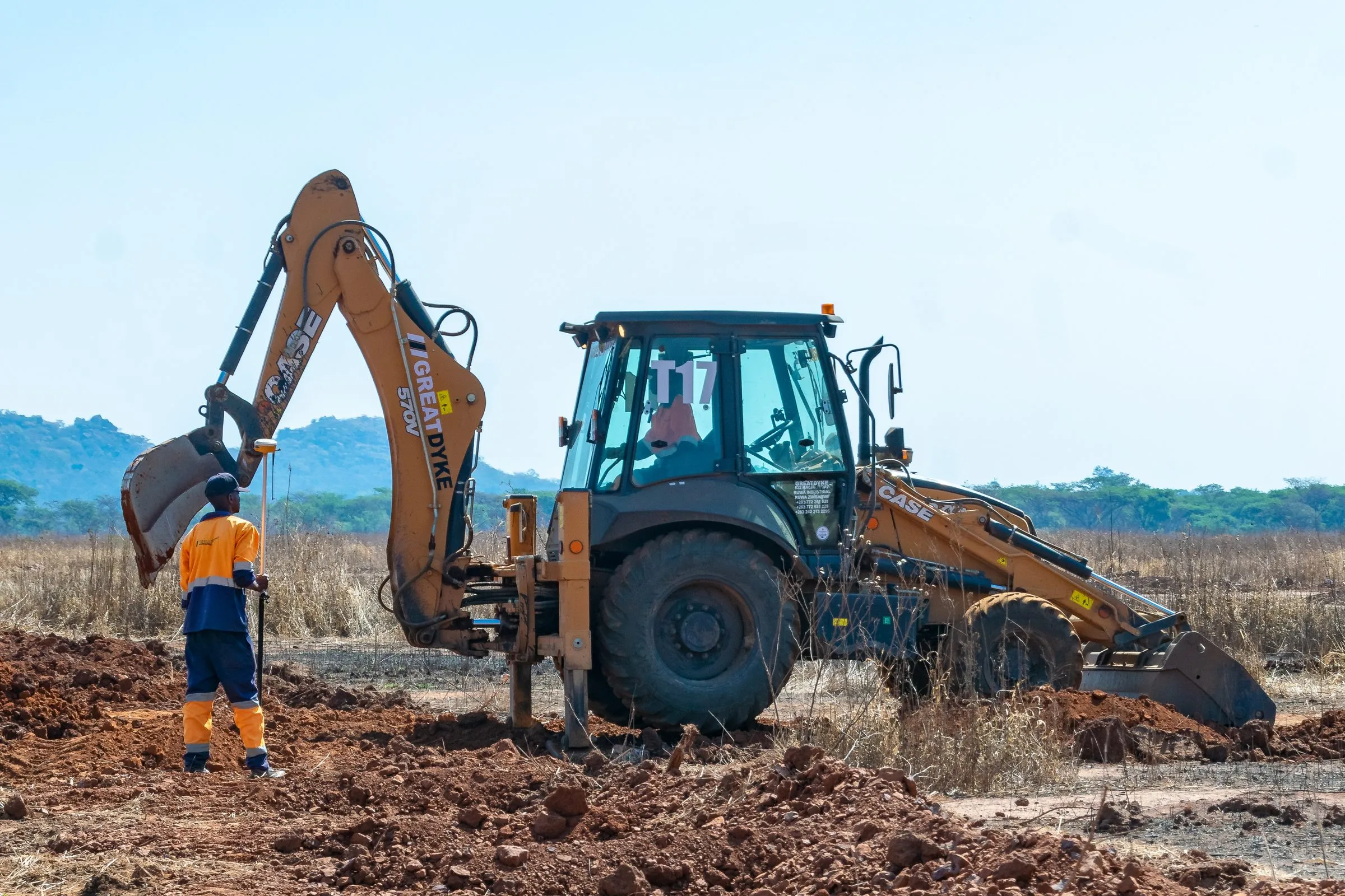
Earthworks and the trunk trench
Road formation and excavation for the trunk main through Phase 1, which is what the culverts were later laid into.
Photographed 25 Aug 2026 - August 2026
Reservoir inlet pipework
The inlet valve being fitted at the storage reservoir. Roofing and commissioning still to come, so water reads "in progress" in the table above and will keep reading that until it is finished.
Photographed 25 Aug 2026 - Next · from September 2026
Reservoir roof, gatehouse roof, boundary wall
Nothing is added to this list before it exists on the ground, and each entry arrives with a dated photograph when it does.
Every one of these photographs, at full size, is on thegallery page.